Property products often repeat the same difficult work: joining address data, spatial geometry, imagery and domain-specific analysis. That creates inconsistent results and slows every new product built on top.
← All work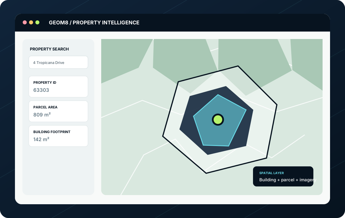
Working product / capabilityProperty & geospatial intelligence
GeoM8
A reusable spatial foundation for location-aware products.
GeoM8 combines property, address, parcel, building and imagery data into a shared platform for analysis and operational workflows.
PythonFastAPIPostgreSQLPostGISDockerQwenLinux
GeoM8 provides a common property intelligence layer that can be queried by address, visualised in maps and reused by products such as RoofM8.
03 / System shape
The useful part is how the components become one workflow.
04 / What this proves
A working example of joined-up engineering.
Spatial foundations can be reused instead of rebuilt per product.
Local open-weight models can sit beside conventional APIs and data services.
Property identity, geometry and imagery can support multiple operational products.
05 / The engineering
How the system is put together.
- PostgreSQL and PostGIS for spatial storage and query
- Property and address lookup with ranked matching
- Reusable APIs for buildings, parcels and imagery
- Local AI services using open-weight Qwen models
- Containerised services on dedicated infrastructure
06 / The trade-offs
Deliberate architecture choices.
- Keep foundational property data central rather than duplicating it across products
- Use local models where cost, privacy and control are valuable
- Retain managed services where they provide genuine operational leverage
07 / What became possible
The result is working capability.
These are capability outcomes rather than invented client metrics. Commercial measures can be added as the products are deployed and benchmarked.
01
A consistent property identity across products
02
Faster development of domain-specific workflows
03
Greater control over inference cost and deployment
04
A platform that can support new spatial products without starting again
More working evidence
Discuss a similar problem ↗Related work.
 01
01
Roofing operations & quoting
RoofM8
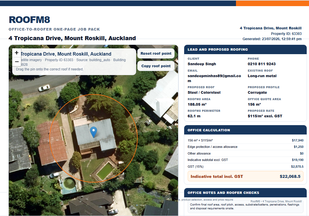
RoofM8 turns spatial property data, aerial imagery, roof information and pricing logic into an operational workflow for roofing businesses.
PythonFastAPIPostgreSQLPostGIS
View case study
 02
02
Digital intelligence & opportunity platform
DigiM8
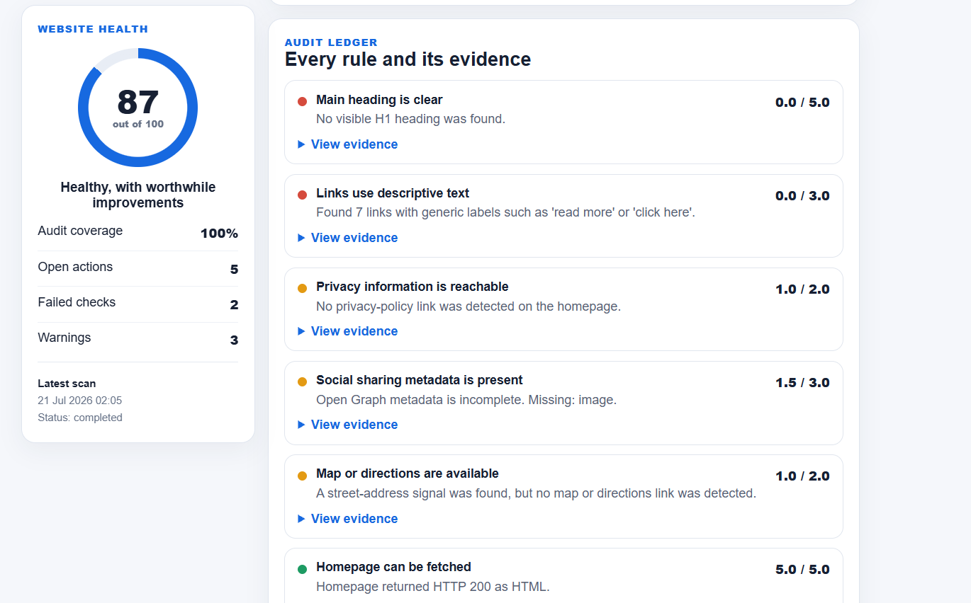
DigiM8 evaluates websites, search visibility and market evidence, then converts findings into a practical growth backlog.
PythonFastAPIPostgreSQLPlaywright
View case study
 03
03
AI-assisted business telephony
Voice AI
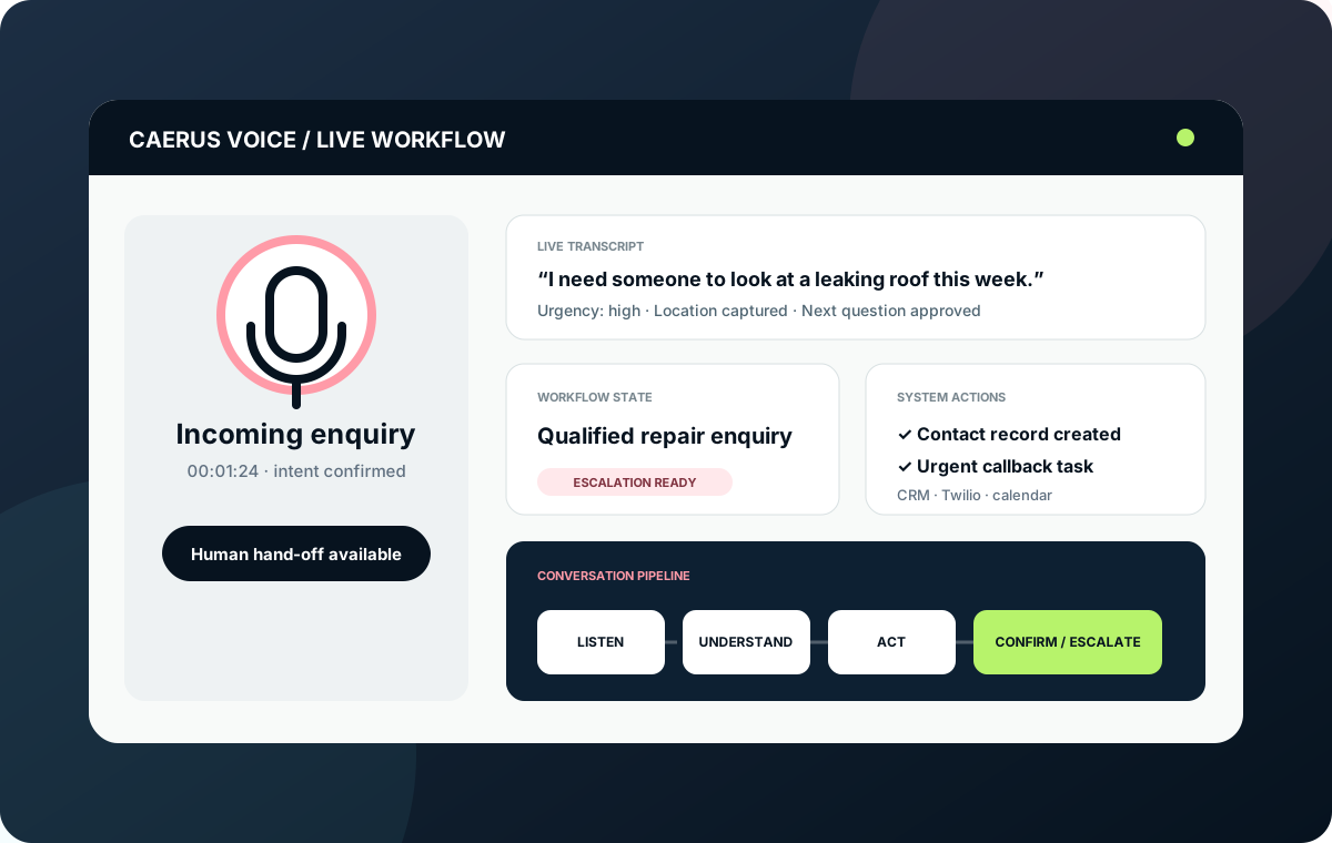
A Twilio-based voice workflow for answering, qualifying, booking, updating systems and handing over to a person when needed.
TwilioPythonFastAPISpeech-to-text
View case study